File:Map CreysFolly.jpg
Revision as of 14:22, 20 February 2009 by imported>Blondeshell (uploaded a new version of "Image:Map CreysFolley.jpg": updated map with neighborhood boundaries)

Size of this preview: 800 × 475 pixels. Other resolutions: 320 × 190 pixels | 640 × 380 pixels | 826 × 490 pixels.
Original file (826 × 490 pixels, file size: 324 KB, MIME type: image/jpeg)
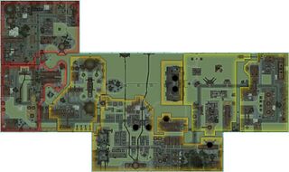
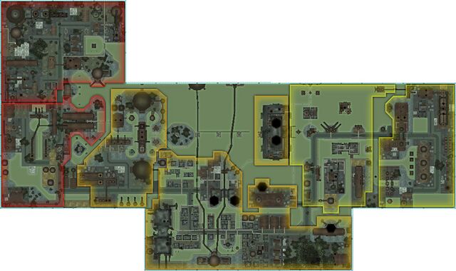
Map of Crey's Folly
File history
Click on a date/time to view the file as it appeared at that time.
| Date/Time | Thumbnail | Dimensions | User | Comment | |
|---|---|---|---|---|---|
| current | 20:58, 21 August 2019 | | 826 × 490 (324 KB) | Maintenance script (talk | contribs) |
You cannot overwrite this file.
File usage
The following page uses this file: